Key Points
Key Points
- Seabed 2030: 28.7% mapped in April 2026, up from 6% in 2017; 104 million sq km covered
- Mars is mapped better than Earth's seabed because orbiters beat ship-by-ship sonar
- Multibeam sonar paints the seabed strip by strip, like mowing a giant lawn
- Mapping found the Karambusel field: hot vents beside cold methane seeps off Papua New Guinea
- The 2030 finish is unlikely on the nose, but the map still transforms safety, climate and cables
On This Page
- What You Will Learn in This Guide
- The Shocking Number: Only 28.7% Mapped
- Subscribe to CAAW News
- How Do You Map Something You Cannot See?
- What the Maps Have Already Revealed
- Why Mapping Matters to Your Life
- The Robots, the Crowd and the New Tools
- Can We Finish by 2030?
- Frequently Asked Questions
- How much of the ocean floor is mapped in 2026?
- Why is the ocean floor so hard to map?
- What is the Seabed 2030 Project?
- What has ocean mapping discovered?
- Does ocean mapping affect the internet?
- Will the map really be finished by 2030?
- Can ordinary ships help map the ocean?
- Final Thoughts
- React to this story
I have a confession to make. Until recently, I thought we had mapped the whole Earth. We have satellites, GPS and street views of nearly every road, so surely we knew the ocean floor too. I was wrong, and the truth shocked me. We know the surface of Mars better than we know the seabed of our own planet. That sentence stopped me cold when I first read it, and it is why I wrote this guide. Here is my promise: you will learn why scientists are racing to map the ocean floor in 2026, how they actually do it, what they have found so far, and why it matters to your life, even if you never set foot on a boat. This is for anyone who loves a good mystery, and this is one of the biggest ones left on Earth. Let us dive in.
Trust nudge: Every number below is linked to a 2026 source. Where two sources give slightly different figures, I show both and explain why.
What You Will Learn in This Guide
- How much of the ocean floor is mapped, and how much is not
- Why we know Mars better than our own seabed
- How sonar mapping actually works
- What the maps have already revealed
- Why mapping matters for safety, climate and the internet
- Whether we can finish the map by 2030
The Shocking Number: Only 28.7% Mapped
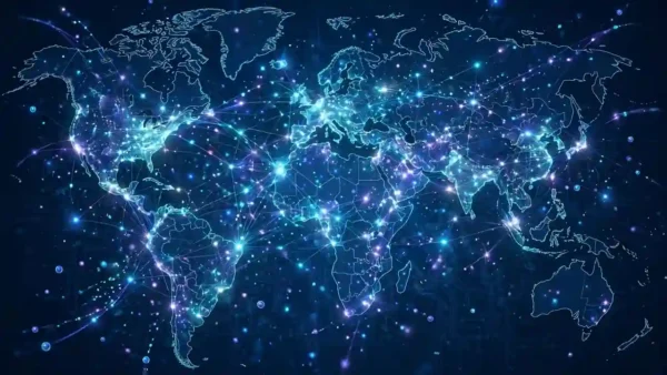
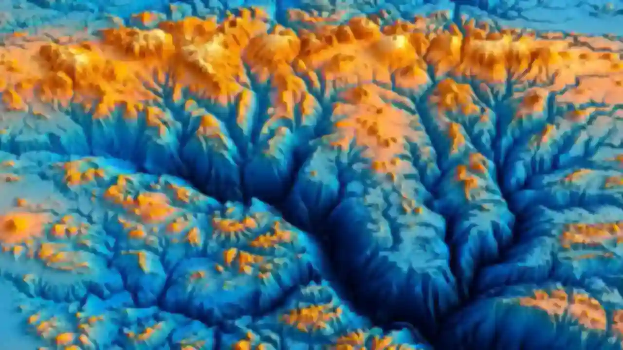
Let me give you the headline first, because it deserves to land. In April 2026, the Nippon Foundation-GEBCO Seabed 2030 Project announced that 28.7% of the world’s ocean floor has now been mapped to modern standards. That is about 104 million square kilometres, an area larger than two-thirds of all land on Earth. It is real progress. When Seabed 2030 launched in 2017, only about 6% was mapped. But read the number the other way round, and it is startling: more than 71% of our planet’s seabed is still unmeasured in any detailed way. We live on a planet we have barely looked at.
And here is the comparison that humbled me. Orbiters have mapped the entire surface of Mars, including details small enough to track sand dunes, while most of our own seabed remains blank. One 2026 report notes that NASA’s Mars Reconnaissance Orbiter can capture details down to about 25 centimetres in targeted areas. Why the gap? Because mapping Mars is done from orbit, while mapping the seabed means dragging sound equipment across every square kilometre of ocean, by ship, in person. Space is far away, but the deep sea is, in a practical sense, harder to reach.
How Do You Map Something You Cannot See?
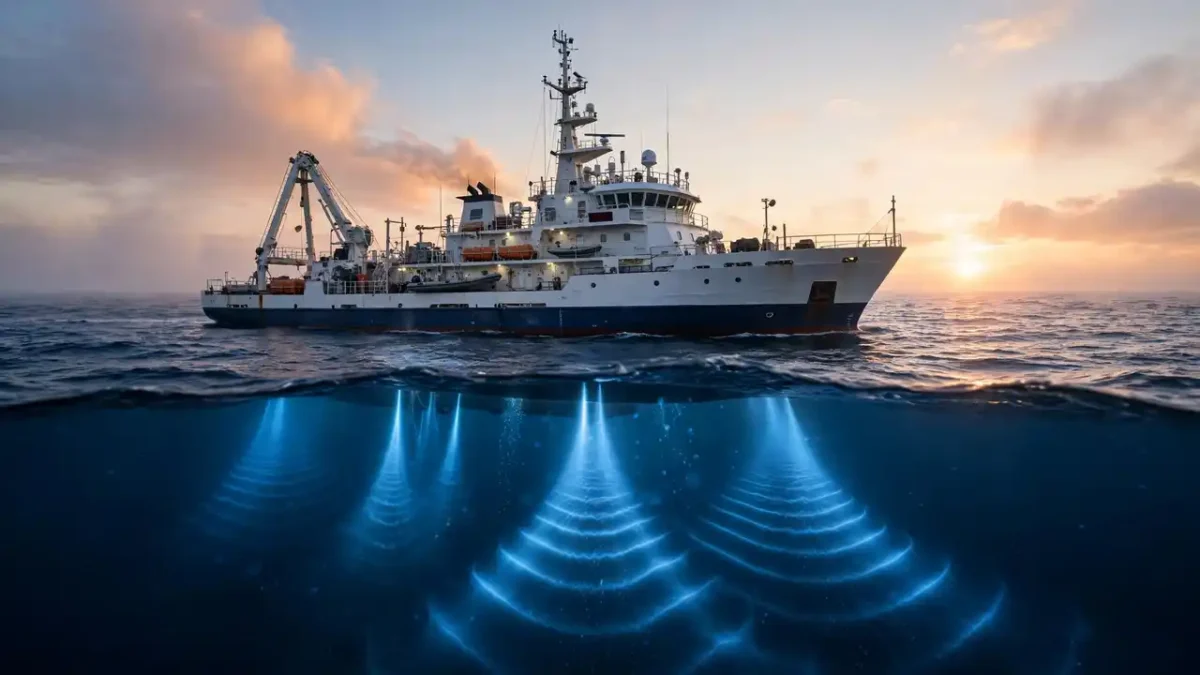
I asked myself this, and the answer is beautifully simple: sound. Ships tow or carry sonar devices that send sound pulses down to the seabed and listen for the echo. The time the echo takes tells scientists the depth. Older single-beam sonar measured one point at a time, leaving huge gaps between ship routes. Modern multibeam sonar sends out a wide fan of sound, painting a strip of seabed as the ship moves. Think of it like mowing a lawn: each pass covers one strip, and you must walk the whole lawn to finish. The ocean is a very big lawn, and the mower is a ship that burns fuel, needs a crew, and cannot be everywhere at once.
Satellites help, but only a little. They can estimate the shape of the seabed from tiny changes in gravity, but those models only show big features like ridges and basins. The fine detail, the valleys, volcanoes and wrecks, stays invisible without direct sonar. That is why the work is slow. One 2026 tracker shows the climb: about 6% in 2017, about 20% in 2022, 26.1% in 2024, 27.3% in 2025, and 28.7% in 2026, with nearly 5 million square kilometres added in the past year alone. Progress is real, but the remaining areas are the hardest: remote, deep and far from ports.
What the Maps Have Already Revealed
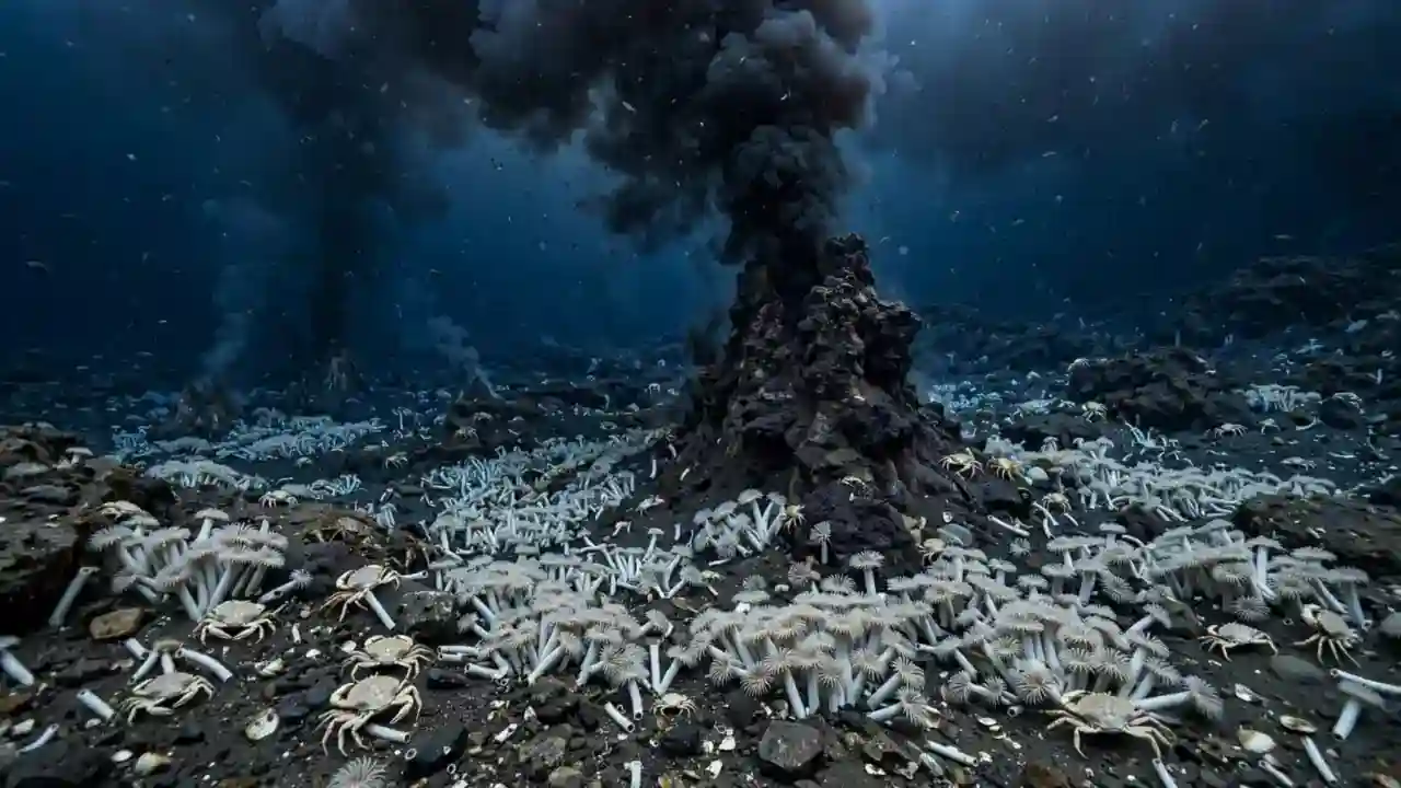
Here is the part I love most: the maps are not just lines on a chart. They lead to discoveries. In September 2025, researchers from GEOMAR Kiel announced a world-first find off Papua New Guinea: the “Karambusel” field, where scalding hydrothermal vents bubble right beside cool methane seeps, at about 1,300 metres deep on the flank of Conical Seamount. A hot vent next to a cold gas seep had never been described before. The team found it with a robotic submersible, after mapping pointed them to the right seamount. Without the map, they would never have looked there.
And there is more. A 2026 study of a newly found hydrothermal system near the Greek island of Milos showed how different venting styles create completely different microbial worlds: slow, diffuse fluids feed sulphate-reducing microbes that build pyrite minerals, while vigorous hot vents host sulphur-oxidising bacteria that precipitate pure sulphur. These are not just curiosities. They are new ecosystems, new chemistry, and possibly new medicines, all found because someone mapped the ground beneath the sea. Every new patch of map is a chance to find something no human has ever seen.
Why Mapping Matters to Your Life
You might be thinking: this is fascinating, but does it affect me? Yes, in ways you use every day. First, safety. Accurate seabed maps help ships avoid groundings, guide tsunami warnings, and plan safe routes for the undersea cables that carry almost all international internet traffic. Your video call, your online order, your news feed: most of it travels through cables lying on the seabed. Laying and repairing those cables without a map is like laying roads blindfolded. Second, climate. The shape of the seabed steers ocean currents, and currents steer weather. Better maps mean better climate models, which mean better forecasts for storms, floods and heatwaves.
Third, resources and protection. Maps show where fragile habitats live, so they can be protected, and where mineral-rich areas sit, so mining debates are based on facts, not guesses. The Karambusel field itself sits in a region eyed for seabed mining, which makes its discovery a conservation question as much as a scientific one. Fourth, history. Maps reveal shipwrecks, sunken cities and lost landscapes from times when sea levels were lower. The ocean floor is a museum, and mapping is how we open its doors. I did not expect a mapping story to touch my internet, my weather and my history. But it does.
The Robots, the Crowd and the New Tools
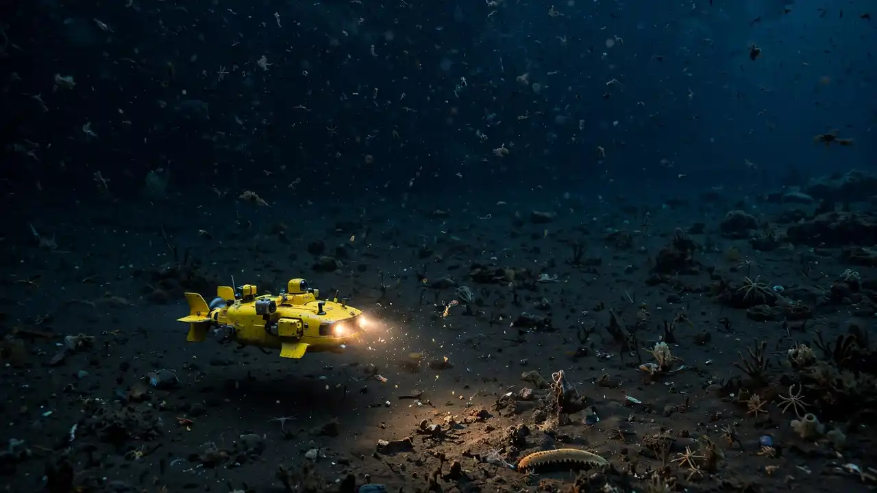
So how can we possibly finish? The answer is that mapping is no longer just research ships. Commercial vessels, ferries and even fishing boats now carry sonar that records data as they travel, turning everyday traffic into survey work. Autonomous underwater robots glide over the seabed for hours, photographing and pinging without a crew. Machine learning now turns raw sonar echoes into clean maps faster than humans ever could. And the effort is truly global: the 2026 update counts 220 contributing organisations, including 15 new ones in the past year, with first-time data from Malaysia, Morocco, Papua New Guinea and Saudi Arabia.
The regional wins are striking. The ROPME Sea Area more than tripled its mapped coverage, from about 6.4% to 20.5%, and coverage grew across the Eastern Atlantic, the North Indian Ocean, the Caribbean and the North Sea. Coastal mapping from satellite-derived data is filling gaps near shores, and deep-water campaigns like NOAA’s Seascape Alaska are pushing into the far north. I find this hopeful. A decade ago, ocean mapping was a quiet job for a few specialists. Today it is a crowd: governments, companies, scientists and ships of opportunity, all adding pieces to one shared puzzle.
Can We Finish by 2030?
Now the honest question. Seabed 2030 promises a complete map by 2030. Is that realistic? I will be straight with you: probably not on the nose, but closer than anyone dared hope. At roughly 5 million square kilometres a year, the remaining 71% would take far longer than four years at today’s pace. And the remaining areas are the hardest: the Southern Ocean in winter, the Arctic under ice, the deep trenches of the western Pacific. One 2026 analysis puts it plainly: the remaining regions are the most difficult ones left, by definition, because the easy, close, accessible areas were finished first.
But I do not think the deadline is the point. In nine years, we went from 6% to 28.7%, and the pace is rising as robots, crowd data and machine learning join the fleet. Even if the last patch lands a few years late, the map we will have by 2030 will transform navigation, climate science, conservation and disaster warning. The real story is not a missed deadline. It is that humanity finally decided to look at its own floor. And once you start looking, you cannot stop, because every new strip of map brings a new wonder, a new warning, or a new question worth answering.
My honest take: We know Mars better than our own seabed, and that should embarrass us into action, not despair. The map is growing by millions of square kilometres a year, and every new patch brings discoveries, safety and knowledge we cannot get any other way. Finish or not by 2030, this is one of the great explorations of our lifetime.
Frequently Asked Questions
How much of the ocean floor is mapped in 2026?
About 28.7%, according to the Seabed 2030 Project’s April 2026 update. That is roughly 104 million square kilometres, up from about 6% when the project launched in 2017.
Why is the ocean floor so hard to map?
Because sound-based sonar must be carried across every area by ship or robot, and the remaining areas are remote, deep and expensive to reach. Satellites can only show large features, not fine detail.
What is the Seabed 2030 Project?
It is a global effort by the Nippon Foundation and GEBCO to map the entire ocean floor to modern standards by 2030, using data from governments, companies, researchers and ships of opportunity.
What has ocean mapping discovered?
New seamounts, hydrothermal vent fields, unique ecosystems like the Karambusel field off Papua New Guinea, shipwrecks, and habitats that guide conservation and cable routes.
Does ocean mapping affect the internet?
Yes. Almost all international internet traffic travels through undersea cables, and accurate seabed maps are essential for laying, protecting and repairing them.
Will the map really be finished by 2030?
Probably not exactly on time at today’s pace, since the hardest regions remain. But the map will be far more complete than today, and the effort continues regardless of the date.
Can ordinary ships help map the ocean?
Yes. Many commercial vessels now record sonar data as they travel, and that crowd-sourced data is a growing part of the global map.
Final Thoughts
I started this guide surprised that we know Mars better than our own seabed, and I end it hopeful. In less than a decade, we mapped nearly a third of the ocean floor, found worlds of life around deep vents, and built a global team of hundreds of organisations to finish the job. That is an achievement worth celebrating. You now know the number, the method, the discoveries and the stakes. Well done. The next time you cross a bridge, stream a film or check a storm forecast, remember the map beneath the waves that quietly makes it possible. And if this story amazed you, tell me in the comments: what do you think we will find in the unmapped 71%? I read every answer, and your guess is as good as any scientist’s, because the best part of exploration is that nobody knows yet.
Published: 26 October 2026 | Updated: 26 October 2026
React to this story